Dare County remains under a State of Emergency, and a Mandatory Evacuation order is currently in effect for all areas of Hatteras Island (Hurricane Evacuation Zone A), which includes the villages of Rodanthe, Waves, Salvo, Avon, Buxton, Frisco and Hatteras.
Hatteras Island Visitors:
Evacuation began at 10 a.m. on Monday, August 18, 2025. All visitors should now be leaving the island.
Hatteras Island Residents:
Evacuation begins at 8 a.m. on Tuesday, August 19, 2025.
NOTE: As you make plans to evacuate, please keep in mind that the road may become impassible beginning with the high tide at 5 p.m. on Tuesday, August 19, 2025. These Mandatory Evacuations are only in effect for Hatteras Island (Zone A).
There are no Mandatory Evacuation orders in effect for Evacuation Zone B (all other areas of Dare County) at this time.
Evacuation Transportation Available for Those Without Access to Vehicles
Transportation is available on Tuesday, August 19, 2025, to a shelter in Warren County, N.C., for Dare County residents who do not have access to transportation. Individuals evacuating on the buses need to bring clothing and medications for 7 days.
Shelters are available for dogs and cats. Owners can transport these pets on the buses. Pets are required to be in kennels. Owners need to bring their pet’s vaccination records with them.
The details are as follows:
Individuals who are evacuating and do not have transportation to the shelter must call Dare County Transportation by 9 a.m. on Tuesday, August 19, 2025 at 252-475-5640 to make a reservation. If you call before 7:30 a.m. or after 5 p.m., please leave a message.
The van/bus will leave Cape Hatteras Elementary School at 12 p.m. on Tuesday, August 19, 2025.
Special Medical Needs Registry:
If you or someone you know has special medical needs and may need assistance during an emergency or evacuation, please complete the online form to register for the Special Medical Needs Registry. For more information, please visit DareNC.gov/SpecialNeeds.
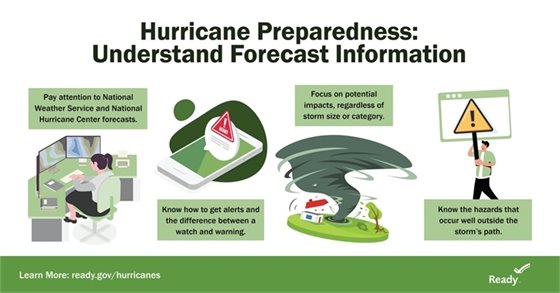
Anticipated Impacts & Watches:
While Hurricane Erin is expected to stay well off the coast of North Carolina, the system will continue to increase in size and is forecast to bring life-threatening impacts to the Dare County coastline.
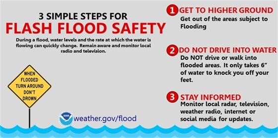
A Coastal Flood Watch remains in effect for Dare County. Coastal flooding and ocean overwash are expected to begin with evening high tide on Tuesday, August 19, 2025 and continue through Thursday, August 21, 2025. Portions of N.C. Highway 12 on Hatteras Island will likely be impassable for several days.
Additionally, the National Weather Service indicates that extreme beach erosion and coastal damage is likely along the oceanside, resulting in a significant threat to life and property. Large, dangerous waves will likely inundate and destroy protective dune structures. Severe flooding will likely extend inland where there is vulnerable or no protective dune structure, flooding homes and businesses, with some structural damage possible. Roads will likely be impassable under several feet of water, and vehicles will likely be submerged.
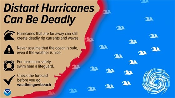
A High Surf Advisory is also in effect for Dare County. The High Surf Advisory indicates that large breaking waves of 15-20-plus feet should be expected in the surf zone. Life-threatening swimming and surfing conditions are expected, as well as wave action resulting in significant beach erosion.
(Disclaimer: The information contained in the NWS briefings are time-sensitive. Note expiration time on briefing.)